- Home
-
Automotive & Safety
- Accessories & Supplies
- Auto & Motor Parts
- General Safety
- Alarm Systems & Accessories
- Anti-Slip Surfaces
- Child Safety
- Emergency & First Aid Kits
- Eyewear
- Face & Head Protection
- Fall Protection
- Fire Protection & Accessories
- Hearing Protection
- Home Testing Kits
- Knee Protection
- Marking Tapes & Flags
- Personal Safety
- Respiratory Protection
- Safety Clothing
- Smoke & Carbon Monoxide Detectors
- Safety Boot
-
Building & Plumbing
- Electrical
- Batteries & Flashlights
- Cable Reels & Wires
- Ceiling Fans & Accessories
- Circuit Breakers, Fuses & Load Centers
- Doorbells, Chimes & Accessories
- Electrical Boxes & Accessories
- Electrical Connectors, Tape & Terminals
- Extension Cords, Outlets & Accessories
- Interior Light Fixtures
- Light Bulbs & Accessories
- Light Fixture Parts
- Outdoor & Security Light Fixtures
- Portable Work Lights
- Electrical Switches & Sockets
- Home & Industrial
- Plumbing Supplies
- Building And Plumbing Supplies
- Electrical
-
Tools
- Power Tools
- Power Tools & Accessories
- Hand Tools
- Assembly Tools & Accessories
- Axes, Machetes & Shovels
- Chisels, Punches, & Nail Sets
- Concrete & Masonry Tools
- Drywall & Plastering Tools
- Electrical Tools
- Flooring Installation Tools
- Hammers & Screwdrivers
- Hand Saws & Accessories
- Workbenches, Sawhorses & Work Supports
- Spanners, Wrenches & Torque Wrenches
- Welding Machines
- Torque Wrenches & Multipliers
- Hand Tools & Accessories
- Tile Tools
- Tool Aprons, Trolley & Pouches
- Staple Guns & Brad Nailers
- Electrodes, Soldering & Welding Supplies
- Shaping & Marking Tools
- Pry & Wrecking Bars
- Nippers & Pliers
- Mechanic's Tools
- Material Handling
- Logging & Layout Tools
- Knives, Ratchet & Rivet Tools
- Sockets, Hex & Torx Keys
- Glazier & HVAC Tools
- Bricklaying Tools
-
Home & Outdoor
-
 Bosch Hot!
- Pros
- Skilled Professionals
- Architect
- Brick Mason & Brick Layer
- Building Surveyor
- Carpenter
- Civil Engineer
- Concrete Batcher & Block Moulders
- Concreter
- Construction & Building manager
- General Labourers
- Iron Bender (Steel fixer)
- Landscaper & Gardener
- Plasterer
- Plumber
- POP Installers
- Project Engineer
- Roofer
- Site Health and Safety Officer
- Site Engineer
- Stone Driller
- Structural Drafter
- Structural Engineer
- Tiller
- Welder
- Window and Glass Installer
- More Skilled Professionals
- Air Conditioning (AC) Repairer - Home & Industrial
- Air Conditioning (AC) Repairer - Car
- Electrician (House)
- Electrician (Car- Rewire)
- Home Decorator (Interior Designer)
- Mechanic Shop (General)
- Mechanic Shop (Japanese Car Specialist)
- Mechanic Shop (German Car Specialist)
- Mechanic Shop (American Car Specialist)
- Mechanic Shop (Tractors, Trucks and Heavy Duty Machines)
- Painter (House)
- Painter (Car)
- Panel Beater
- Repair Shop (Brush Cutter,Chainsaw & Lawn Mower)
- Skilled Professionals
Compare (0)
You have no items to compare.
Welcome to Mamtus Nigeria
Measuring Tools
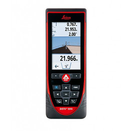
Leica Hand Laser Measure Distance Meter Disto S910
Top-of-the-range Leica distortion for indoor and outdoor measurements. Ideal for your complex measurements thanks to P2P technology.
Features
- Horizontal angle measurement by encoder and vertical angle by inclinometer.
- Saves measurements in AutoCAD (DXF) format.
- Transfer of point coordinates in real time via wifi.
- Long range up to 300 meters, Integrated mini tripod, Hotline included in the price.
- Calculation of inaccessible measurements with P2P technology - Measures all distances between 2 points (horizontal, vertical, incline, slope calculation ...)
- Calculation of complex areas: Even the most complex area calculations are simplified.
- Frame the perimeter by recording the points and the area will be automatically calculated from a single position: walls, ceilings, inclined planes ...
- Calculating angles: measure all angles, even on sloping surfaces.
- Reading with Dxf file All your measurements are recorded in 2D or 3D Dxf format that you can then retrieve and process on your software.
- Real-time point transfer via WiFi Send measurements or coordinates of the point directly via WiFi to CA software
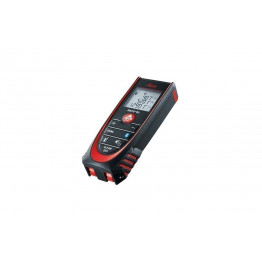
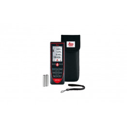
Leica Handheld Laser Distance Measure with Bluetooth DISTO D2
Disto for interior measurements. Certified range up to 100 m. Waterproof and dustproof.
Features
- Bluetooth transfer : transfer via bluetooth technology allows you to immediately transfer your values to your mobile applications such as Excel, Word, planning software, autocad, etc.
- Large range : the new Disto D2 Bluetooth rangefinder has a range of 100m compared to the 60m of the first version.
- Pythagorean function: automatic calculation on 2 points and 3 points.
- Automatic clip: The clip at the foot of the rangefinder is now automatic thanks to the integrated sensor, no need to navigate in the menu to choose the zero point of the rangefinder.
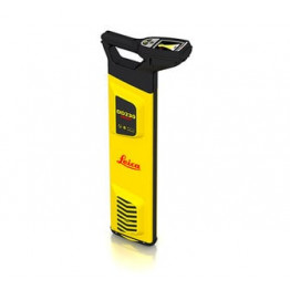
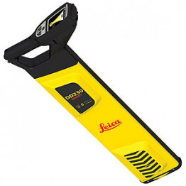
₦376,740.00Leica Detect Smart Locator - DD230
Product Highlights
The Leica DD230 is an easy to use, intuitive locator simplifying the detection of buried utilities and increasing user confidence .With automated pinpointing technology and a clear visible display, the DD230 discovers buried utilities with confidence, even in densely packed areas. On-board video support, usage alerts and diagnostics, combine to improve product use and, protect operators and utilities.
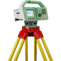
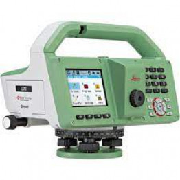
Leica LS10 Digital Level
Features
- Eliminate delays with superior technical service
- Finish jobs faster with excellent consultancy support
- Avoid costly site revisits with online service to send and receive data directly from the field.
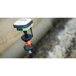
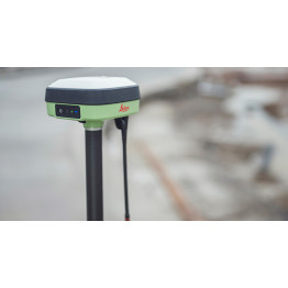
Leica GS05 GNSS RTK Rover
A new lightweight compact GNSS antenna with tilt compensation and an immunity to magnetic disturbances.
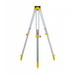
Leica Medium Aluminum Tripod CTP104 for Leica NA720,Na730,NA2
Products Description
CTP104 Medium Aluminium Tripod is a high-quality, medium-weight aluminum tripod is equipped with a screw clamp and a flat triangular head . It is also telescopic up to 1.68 m. It is ideal for levels, lasers and theodolites.
₦208,260.00Leica Laser Distance Measure for Outdoors Disto D510, 200m
Functions:
- Distance measurement: Continuous slope measurement
- Min / max measurement: Area / Volume
- Smart Horizontal Mode: Addition / Subtraction
- Indirect height: Pythagoras
- Height profile: Layout
- Vertical inclined: Trapezoid
- Long range mode: Calculator
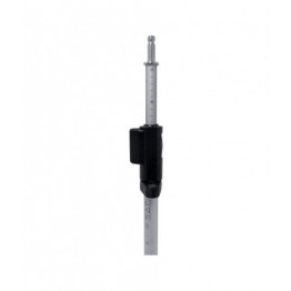
₦1,848,600.00Leica Prism Pole 2.15m GLS11
Product Description
Prism Pole is an ideal for measuring the elevation of a specific ground point by using a sight level, which is important if you want to get accurate results.
. Leica offers you its GLS11 rod with "Quick release" clamping by lever, telescopic from 1.23 m to 2.15 m.
. It has an adjustable 8 'spherical level . The graduation is done in cm and in ft .
. The tip is not interchangeable.
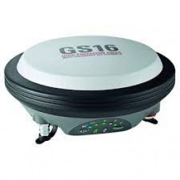
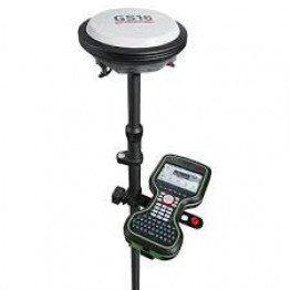
Leica Viva GS16 GNSS rover self-learning Smart Antenna
- Features -
- Measurement precision, Accuracy, reliability and time for initialisation are dependent upon various factors including number of satellites, observation time, atmospheric
- conditions, multipath etc.
- Figures quoted assume normal to favourable conditions.
- Creates complete solutions for professionals across the planet.
- Known for premier products and innovative solution development, professionals in a diverse mix of industries, such
- as aerospace and defence, safety and security, construction, and manufacturing,
- Trust Leica Geosystems for all their geospatial needs.
- With precise and accurate instruments, sophisticated software, and dependable services,
- Leica Geosystems delivers value every day to those shaping the future of our world
Please note; customer who purchased this will also need the Base to work with.
for more information - Leica Viva GS16 data sheet
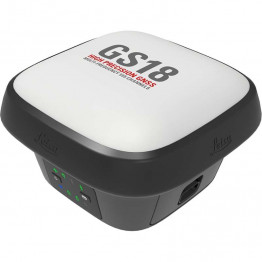
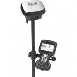
Leica GS18 T GNSS RTK Rover LTE & UHF Performance Smart Antenna
Features /Benefits
- Engaging Software
- Tilt Compensation
- Internal Memory
- 4G LTE / Excellent Measurement Quality
- Improved Performance and excellent customer care .
it is the user-friendly geospatial office software for the measurement professionals. It is designed to manage, process, analyse and quality check all field survey...Please note that customer who purchased this also needs the baseLearn More - Leica GS18 T data sheet


